
Lake and Fishery Depth Maps
Welcome to Lake Depth Maps. We create accurate and beautiful contour maps, 3D videos and interactive Google Earth files of your fishery lake bed.
Precise area and volume surveys
Ever wondered exactly how much water your lake holds?
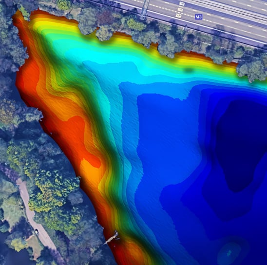
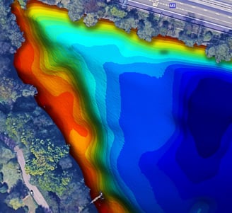
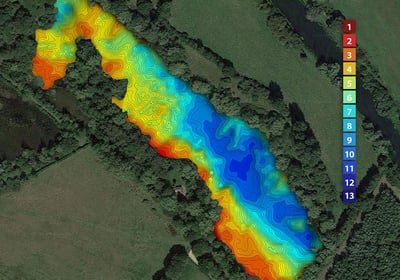
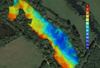
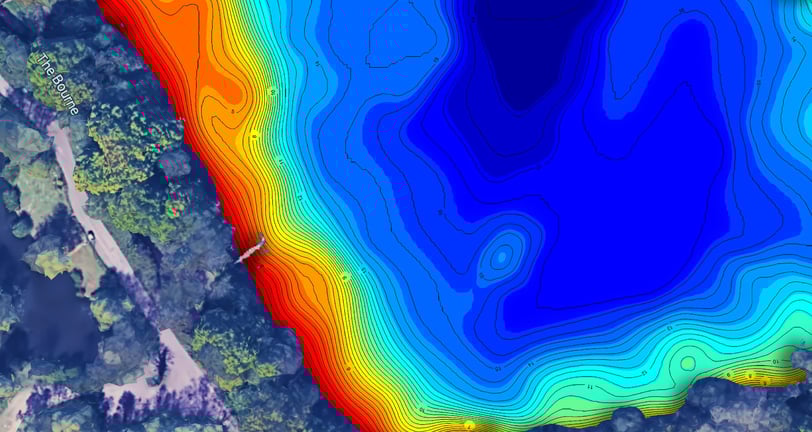
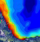
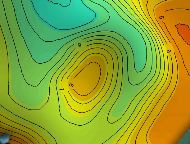
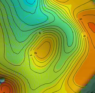
Using accurate GPS and depth data we create stunning visualisations of your lake bed contours.
Visualize underwater landscapes
Beautiful custom depth maps
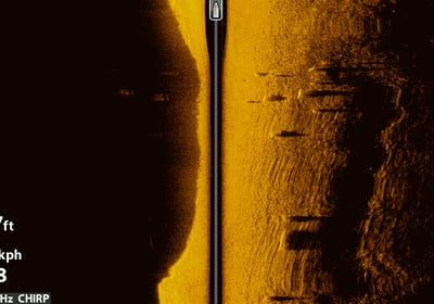
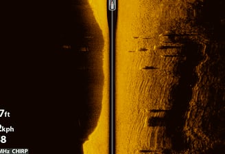
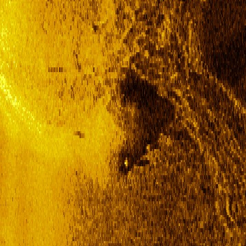
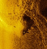
Sidescan, bottom hardness and vegetation data
Discover Lake Depth Maps
We specialize in creating detailed visual depth maps of lakes and fisheries using advanced sonar scans, helping fisheries, anglers and researchers understand their aquatic environments better.
Depth Mapping Services
We create detailed visual depth maps of lakes and fisheries using advanced sonar scanning technology.
Sidescan mosaic
We combine sidescan data to create accurate pictures of your lake bed. Weed growth, bottom hardness, snags and hidden structures can all revealed.
Custom Solutions
Tailored mapping services to meet the specific needs for lake and fishery. Precise volume and area calculations. 3D visualisations. Google Earth integration, print resolution. We have a solution for you.
Our expert team ensures precision and clarity in every depth map we create for you. Maps at print resolution, online, Google Earth integration.
Expert Mapping

Depth Maps
Explore our stunning visual depth maps of lakes and fisheries.

Fantastic to see what our lake actually looks like below the surface. We now sell the map to our members as an extra service.
Private Syndicate
★★★★★