Depth Mapping
We create detailed visual depth maps for lakes and fisheries.
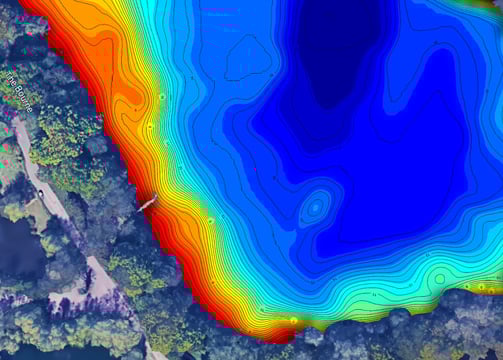
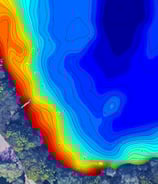
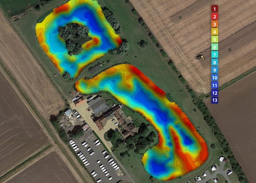
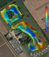
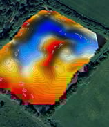
Depth Maps
Transforming sonar data into visual depth maps. Online or print resolution files in many formats. Our design team can deliver custom colour gradients, add your branding, create 2D or shaded 3D maps.
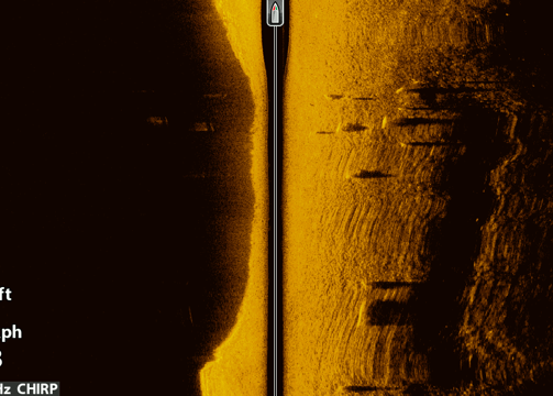
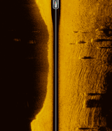
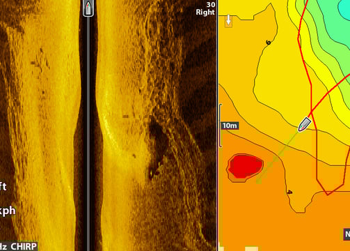
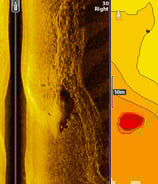
Sidescan mosaic
Sidescan maps of your lake bed can reveal the tiniest of detail. They can even tell you where the fish are.
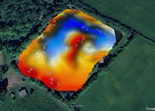
Google Earth Integration
Interactive overlays for Google Earth. Allowing you to zoom in and out,
rotate and measure distances to features.

Lake Mapping
We provide detailed visual depth maps of lakes and fisheries, enhancing your understanding of underwater landscapes through advanced sonar scans.
Location
Colne valley, Hertfordshire
Hours
9 AM - 5 PM
We dug our lake over 12 years ago and it was crazy to see just how much the carp had changed the lakebed.
Alan Simpson

★★★★★