Gallery
Explore our stunning visual depth maps of lakes and fisheries.
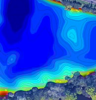
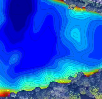
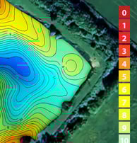
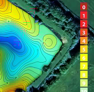
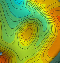
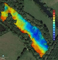
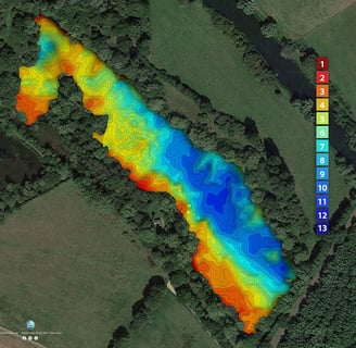
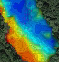
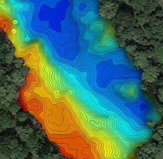
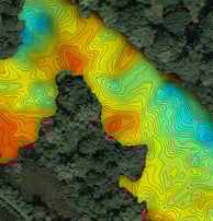

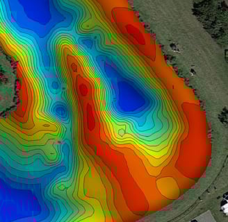
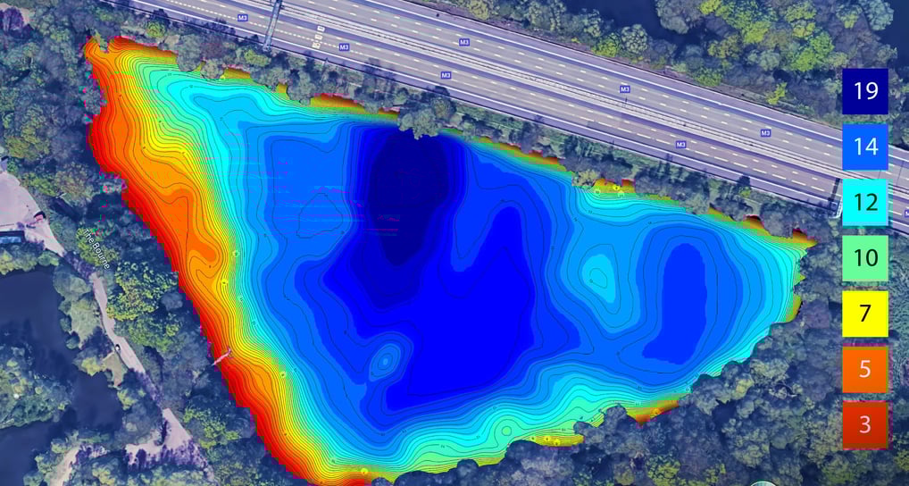
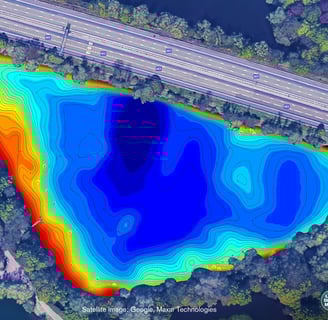
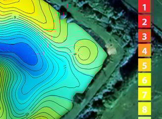
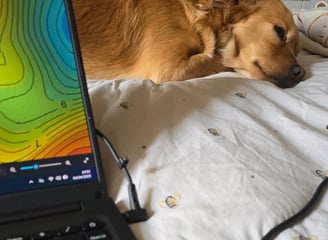
Depth Mapping
Visual depth maps created from sonar scans of lakes.
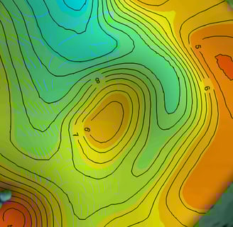
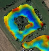
Lake Analysis
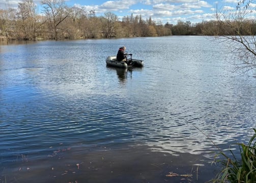
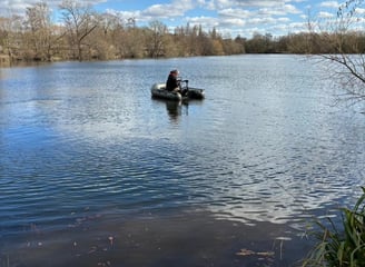
Detailed sonar scans for accurate lake depth visualization.
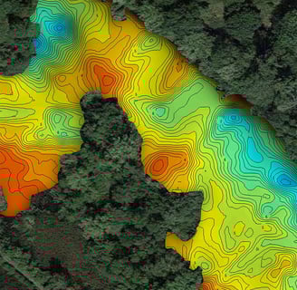
Fisheries Mapping
Sonar data transformed into visual maps for fisheries.
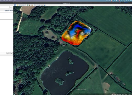
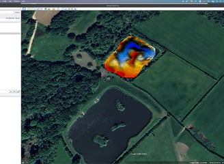
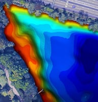
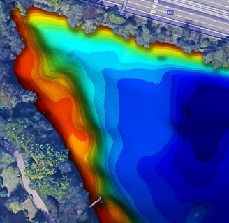
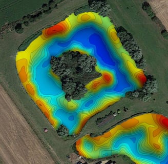
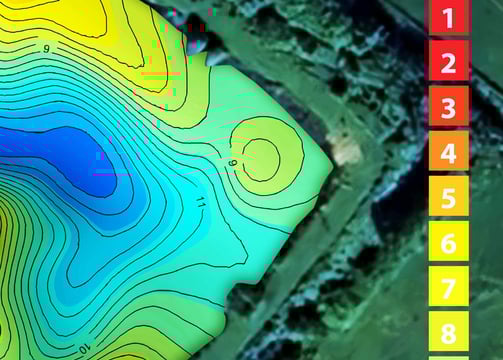
Google Earth Interactive Integration
Interactive overlays that allow you to zoom, pan and tilt, and more importantly, measure distances to features.
Map Creation
We can supply all common file formats, from screen to print resolution, We can add your own branding and colour schemes.
Paul was wonderful to work with, full of ideas of how we could offer our members an enhanced angling experience.
Southern Fishery


★★★★★